|
Virtual Tour of the
Trans-Taiga Road
Page 4 of 10
Previous
Next
|
| |
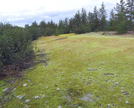 |
Km 178 Still
running along atop the esker, you will see a lot of this
bright green moss covering the open gravel areas. |
|
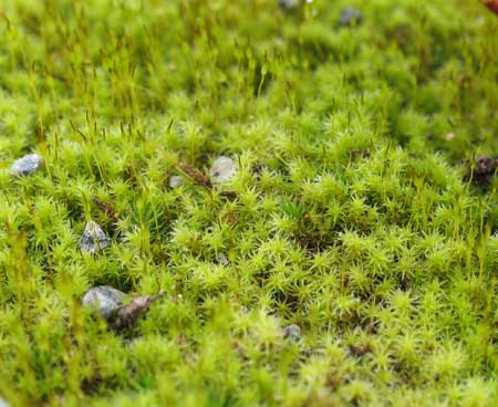 |
Km 178 Closeup
view of the moss. |
|
 |
Km 178 Nice view
from atop the esker. The steep sides of the esker are
clearly seen here. |
|
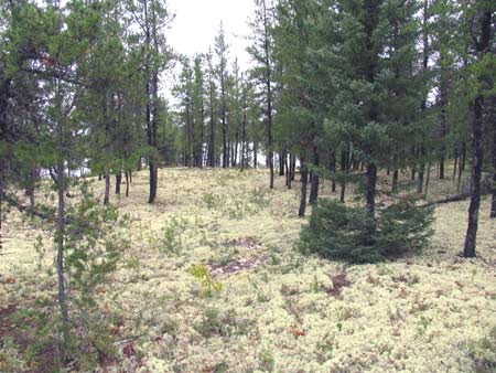 |
Km 180 Another nice spot to stop and get out to explore a little.
There's a small lake just beyond the trees here.
The ground is covered with a thick luxuriant bed of lichens. The
trees are jack pine. |
|
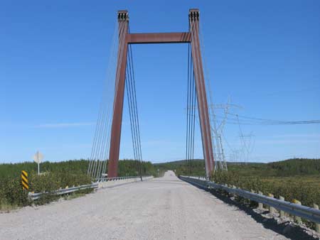 |
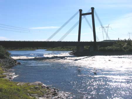
Km
203 The bridge across the Pontois River. This is
the same style of bridge as what crosses the
Rupert River
along the James Bay Road. |
|
 |
Km 203 View from
the lookout at the rest stop/campground. |
|
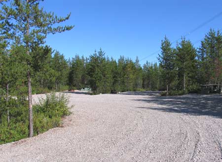 |
Km 203 There's a
nice campground here, on the east side of the bridge. |
|
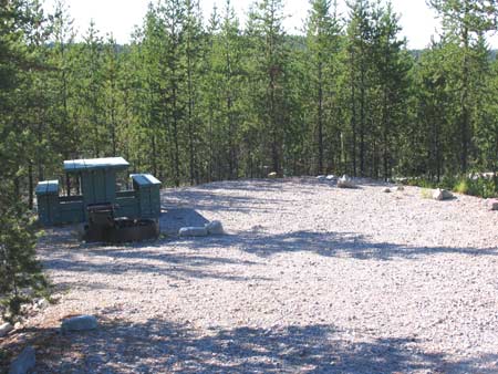 |
Km 203 A campsite
at this campground at the Pontois River. |
|
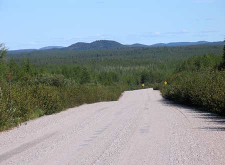 |
Km 210 |
|
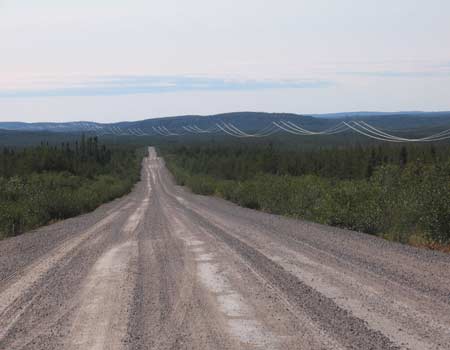 |
Km 218 Long
lonely road! |
|
| |
|
Previous
Next |
|
|