Km 0: Beginning of the Trans-Taiga Road, starting at
Km 544 of the James
Bay Road.
Km 0: Junction of
the James Bay Road (paved) with the Trans-Taiga Road
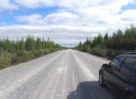
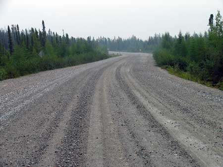
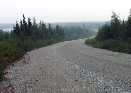
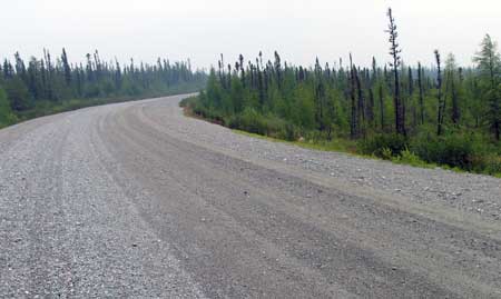
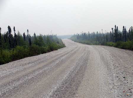
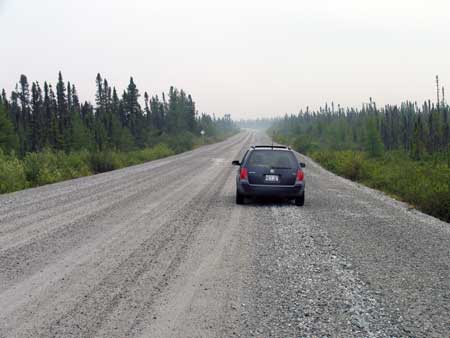
Km 6: This is a
wide, modern well-graded gravel road.
Km 11: Hydro-Quebec microwave tower: "Castor" - no
emergency phone. Hydro transmission lines cross the road here.
Km 21
Km 23: Emergency telephone: "Sakami"
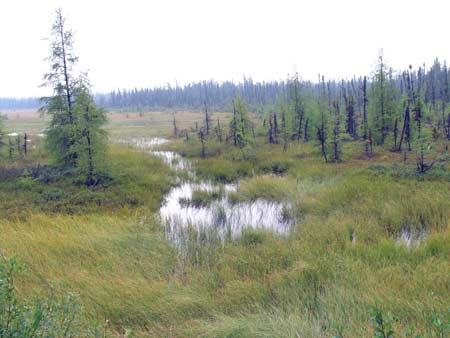
Km 24
Km 24: A nice tamarack marsh-swamp along
the way.
Km 27
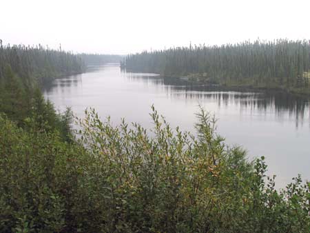
Km 31: Unnamed lake
to the south of the road.
Km 33
Km 46
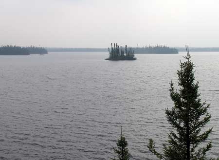
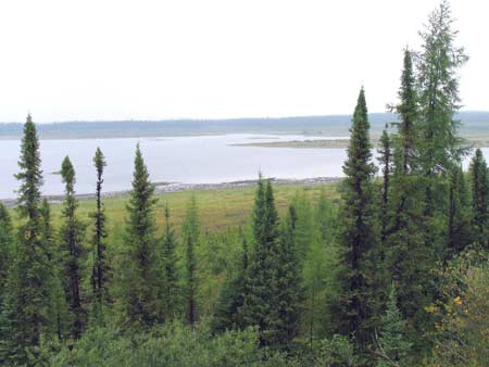
Km 53: View of a nice lake
off to the north a short ways. This lake is actually part of the reservoir for the
massive hydro-electric facility at Radisson (where the giant dam
is).
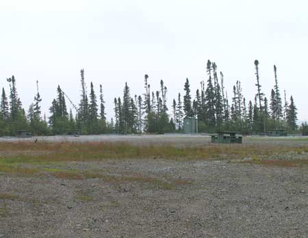
Km 56:Sakami
Lake. Picnic tables, boat launch, toilets, fishing,
camping. This is a very basic campsite, little more than
a parking lot, shared with a couple of Cree camps.