ACCUEIL

Mont Laurier - Maps

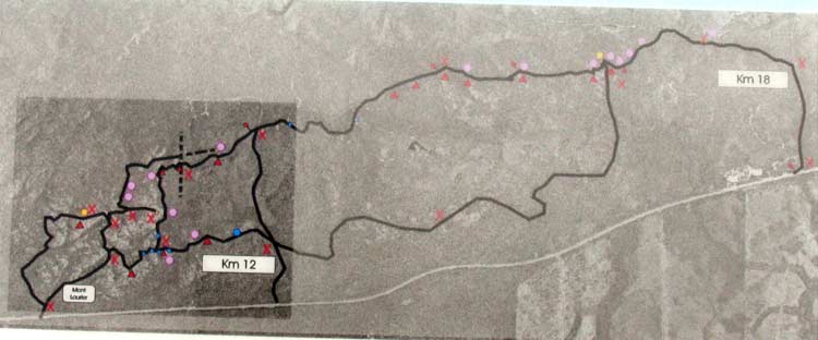
There are maps of the trail system at every access point embedded in a sign. Photos of these maps are reproduced below so you can get an idea of the trail system.

The entire trail system


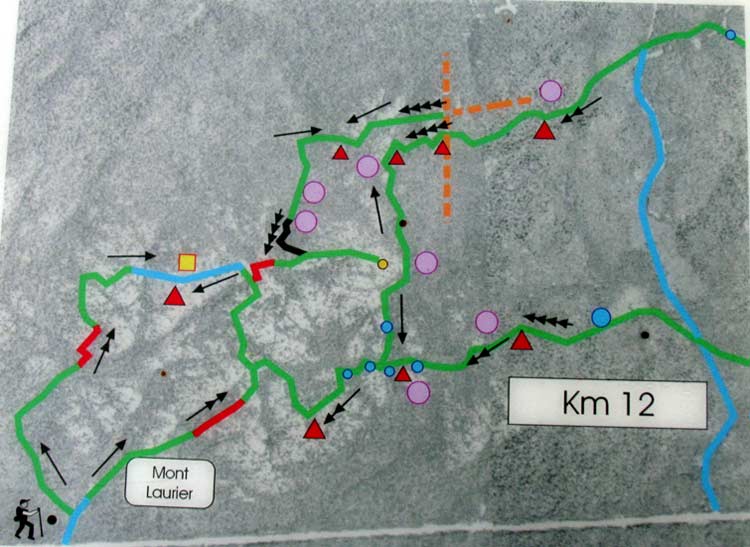
Detail of the western part
(this is the half where Mont Laurier is located)


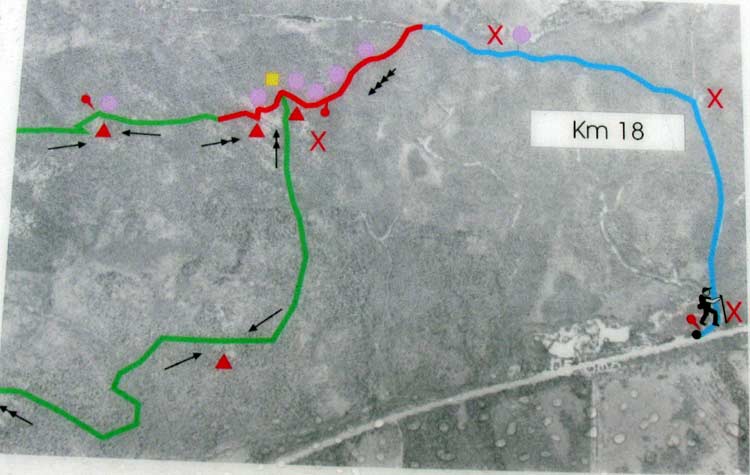
Detail of the eastern part


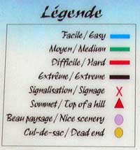
Legend of symbols used on the above two maps


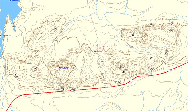
A topo map of the Mont Laurier area
(contour lines are in feet)

PHOTOS OF THE MONT LAURIER TRAILS


Route de la Baie James     Visite virtuelle     Carnets de routes    Information Voyage    Routes    Villes

Si vous avez apprécié ce site, vous apprécierez peut-être aussi ces autres sites Internet
du groupe Wildwood Canada

Wildwood Survival   Wildwood Tracking   James Bay Road   Rupert River   Trans-Labrador Hwy   Moped Trip
Ontario Wildflowers   Ontario Trees & Shrubs   Ontario Ferns   Ontario Grasses   Ontario Insects   World of Mosses
Wildwood Canada   Mumart   Wild Ontario   Leatherwood Trail   Tracker Trail   Earth Caretaker

Le matériel utilisé sur ce site est à utilisation restreinte, copyright ©, par l’auteur/artiste/photographe de ce site. Ce site fut créé, est maintenu et copyright © par Walter Muma
Veuillez s’il vous plait respecter les droits d’auteurs et demander la permission avant d’utiliser ou de conserver le contenu de ses pages pour votre usage personnel, communautaire ou professionnel

Merci de visiter ce site !